SatImg basics
Opening a raster file through SatImg
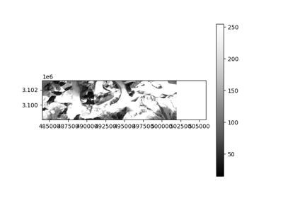
Example with a Landsat image:
import geoutils as gu

filename = gu.datasets.get_path("landsat_B4_crop")

satimg = gu.SatelliteImage(filename)
What the SatImg class does for you
When reading your file, SatImg will try to load metadata information from the filename. For the above filename, this will be printed in the console:
Currently supporting the nomenclatures used for: Landsat, Sentinel-2, ArcticDEM, REMA, ASTER L1A, ASTER GDEM, NASADEM, TanDEM-X, SRTM and SPOT-5
More to come…